Fade2D offers powerful triangulation functionalities, essential in fields like land surveying, mining, and road construction. This article provides an overview of the I/O operations engineers use in practice to bridge their software with the Fade2D library. We will discuss the individual I/O methods through a C++ example, that you can also find in the download…Continue readingI/O: Bridging your Software with Fade2D
Category: Practical Delaunay Meshing Examples
Explore practical Delaunay meshing examples written for real end-user software. These code implementations demonstrate Fade2D’s remarkable performance, numerical stability, and versatility as a robust C++ library. Discover how Fade2D solves real-world problems for both industrial and land survey applications, blending expertise with practical code examples. The download package includes all discussed source codes, and you can adapt them to your projects.
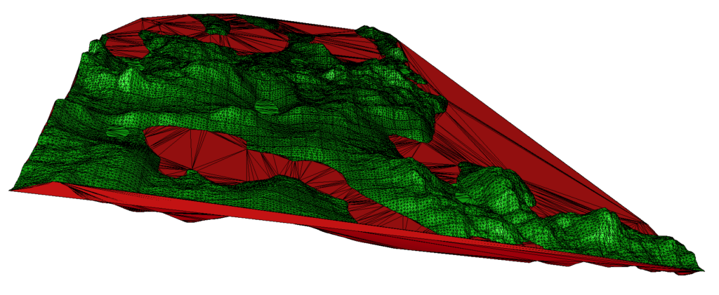
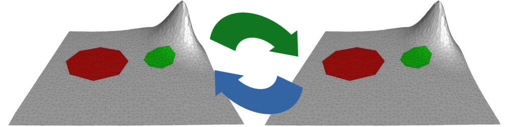
If you’re a software developer in land surveying, you understand the importance of processing large point clouds efficiently. You also know the critical role of triangle filtering to generate correct terrain representations. Automatically removing unwanted triangles while retaining the important ones is a crucial step in achieving this goal. In this article, we’ll explore a…Continue readingTriangle Filtering: A Practical Solution in Land Survey Software